Kings Canyon and Giant Sequoia butt against each other and are intertwined in many areas. Coming up 180 this is the first sign you come to.
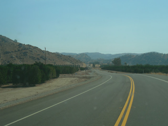
It wasn't just the grass that was dry but the trees were dying as well. All along our route we saw dead, dying trees and they make great fuel for the massive forest fire that is raging in Kings Canyon NP.
The first stop was at Kings Canyon Visitor's Center where we feasted on some sandwiches and soup from the hotel restaurant (I had chilli and wings) then over to the visitors center for the obligatory look around, stamp and post cards. Then we drove down to look at the General Grant tree, the third largest tree by volume in the world. There is a paved path from the parking lot up through the trees to Grant and back to the parking lot taking you past many trees named for the US states.
The Gamlin Brothers lived in this massive downed tree before building their cabin. It amazes me how long these giants have been around. This tree has been on the ground long before the Gamlins arrived. Thousands of years this tree lived and grew and then died. I can't fathom that time, what did the earth look like when it began to grow? Man went from fire and caves to walking on the moon and cell phone cameras and this tree lived, died, fell over and continues to stand as a testament to its greatness. Surely if the Lord watches over these giants He watches over me.
Just 150 yards from this cabin the forest fire raged and consumed. It was so close that they wrapped the cabin in aluminum foil in an effort to protect it from the heat. As we walked down the path past the cabin the smell of burning wood was heavy in the air and occasionally a cloud of smoke would blow in so thick that is obscured the path and choked the lungs. Fortunately they left as rapidly as they came.
I told Patrick to run over and lay on the stump so I could have a comparison photo but he refused, said it was against the rules. You listen to them but not to your parents?
 |
| Lots of tour bus people and most did not speak English as a first language. I think these were eastern block folks. |
We left General Grant's Grove and drove across to Panoramic Point. 180 continues down to the bottom of King's Canyon but the rangers had it closed off and were sitting at a road block to keep us curious folks from wandering down into the fire zone. Which means that we will have to come back and see the bottom of the deepest canyon in North America. We were told that the reason the road is closed is that the mountains and granite and marble at a certain temperature the marble starts to pop, crack and explode doing damage to the road that needed to be repaired.
Signs at the overlook were burned.
The fire moved quickly up and along the road to Panoramic Point.
From the overlook we turned back and stopped to see the "Big Stump." I was hoping to view it from the parking lot but it required a hike and so I sent my diligent delegates in my stead.
Here again they covered the stump to protect it from the fire.
So if your eyes are bad and you can't read the sign, here's the gist. This was called the Mark Twain tree and when the American Museum of Natural History asked for a slice of sequoia, old Mark Twain got the ax. It was from this tree that many people began to realize the importance of protecting these giants. Many were cut down just for the fun of it so that the men could say that they did it. The trees would often splinter on impact with the ground as they fell and the wood wasn't very desirable for building and other purposes.
we drove down to the Giant Sequoia Visitors Center and then on to General Sherman.
Auto log circa 1920s. They stopped driving on it a few years ago because the log was getting to rotten.
 |
| http://www.pbs.org/nationalparks/media_detail/609/ |
 |
| Nora knows how to be the star! |
Stairs lead up and out to the look out.
 |
| http://360panos.com/panothumbs/MoroRockHalfway.png |
We rolled back into Fresno under the cover of darkness and had our first taste of the In and Out Burger. It did not receive rave reviews.


No comments:
Post a Comment