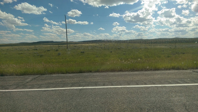
From Sheridan we headed south for Independence Rock.
 |
| The land changed to more sage brush and looked much like being in the southwest but a little greener. |
 |
| I hit the trip meter right before I took this picture. The end of the road was seven miles away. |
 |
| The people crossing the Oregon Trail used this massive rock as a reference point. It was called this by the original group that passes by on July 4th. They celebrated the Independence of the nation here by carving their names into the stone. Many of the names have worn away but many are still visible. |
 |
| The little bridge passes over the Oregon Trail, there are still wagon ruts in the land and in the rocks nearby that they crossed. Hard to believe 150 years ago migrants were pouring into this land in hopes of a better life in a covered wagon. Now they hop the fence. |
 |
| Lots of hay being made in this state. |
We ended up at Twin Pines after a long day stressing about fuel mileage because of an accidental fill with 85 octane, high winds and lots of hills. It was good to stop, enjoy a community campfire, roast some mallows and enjoy a hot shower.


No comments:
Post a Comment