The original plan was to leave Craters of the Moon and head north to Glacier NP but after reading about the wildfire in the park and how many people were moving from where the wildfire was to other areas we thought it would be packed with people and after Yellowstone we were ready to be done with crowds for a little while. That is the great thing about this trip is that there isn't a schedule and we are able to do what we want. So I decided that we should head south towards Twin Falls and see Twin Falls or Shoshone Falls as the Indians called them. There were also some major landmarks that I wanted to see along the way.
The lava beds stretched for miles and the road rolled out like a welcome mat.
We got into Twin Falls and crossed the Perrine Bridge. It was on the list of things to see so I pulled into the visitors center on the south side of the bridge.
 |
| This is the big dirt ramp that old Evil tried to jump his rocket bike across the canyon. He failed. |
 |
| You can see a base jumper about half way down the cliff on the right side with his chute deployed. |
 |
| Being a beautiful Saturday, the jumpers were out in force. No one would loan me a chute. |
The nest stop was Shoshone Falls after we ate a spot of lunch. The falls are surrounded by a large state park because people did not want them to become as commercialized as Niagra. Shoshone Falls are 45 higher than Niagra. They had part of the falls shut down so they could work on the hydro plant.
 |
| View from the parking lot |
The upper falls. We could have taken the trail to the falls but we didn't feel like walking that far.
We left the falls behind and headed out across the prairie again. But we got sidetracked by a big brown sign that said fossil beds. The visitors center is also the vc for a Japanese interment camp that was down by Twin Falls. There wasn't much about it though.
 |
| The famous Hagerman horse with one whole hoof not split like most animals. |
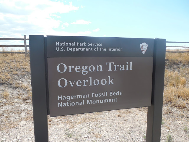
We drove out to an overlook for the Oregon Trail and for the fossil beds. You can't get down to the beds but you can see close to where they are.
Whats amazing about following along the Oregon Trail is that much of it is just like when the emigrants traveled through. Its still wild, desolate country that seems unimaginable to cross through in the dead of summer. It was 95 standing on the ridge looking out over the view. We could climb into the air conditioning but they endured many hot, thirsty days on the road to the promised land.
 |
| Its hard to see the ruts but just to the left of the utility poles you can see a road leading up. |
 |
| The road came up through this gully between the rocks and the utility pole. |
From here we rolled on west to Bruneau Dunes State Park where glaciers had deposited large amounts of sand forming two dunes, the tallest 475 feet tall. We spent Saturday night in the SP and Sunday we rented a sand board for Patrick to surf the dunes.
 |
| He spent a lot of time falling down but he had fun. |
After playing in the sand Becky and Patrick took showers and we headed into Boise to Camping World so we could get a new screen door handle. But Camping World was closed on Sunday and after a quick stop at Wal Mart we parking in the CW lot and plugged into their electric. This was the first CW that I saw that had power. It was super windy Saturday and Sunday and Monday.
This is how windy it was in Boise.
 |
| That's a big flag if you compare it to the cars in the parking lot. This was Monday morning. |


No comments:
Post a Comment