A few views of Chuckanut Drive. We left the camera at home so you get pics off the cell phone while they can be some great pictures they don't always do very well with the zoom.
We stopped off at Nooksack Falls but the trail down to see the falls was not barrier free but we could see the top of the falls from a bridge over the river. There were some deep pools that looked nice to relax in just before the water went over. I should have snapped a pic but I didn't.
 |
| Road to Nooksack Falls. |
 |
| Becky loved the moss covered trees. |
 | |||||
| You can see the road snaking around the mountain with Mt. Suksan in the background. |
These views are at the visitor's center.
 |
| The visitor's center. |
They had to build the visitor's center to withstand high snowfalls. The record was 1140 during the winter of 1998-1999. Regular snowfall is in the hundreds of inches. This last winter was rather dry because of the drought but they still managed a few hundred due to storms that sweep off the Pacific and dump their heavy load on the highest peak around.
There are lots of trails leading everywhere. I was relegated to the "barrier free" trail. It was paved but the inclines were not ADA standards.
 |
| The "barrier free" trail. |
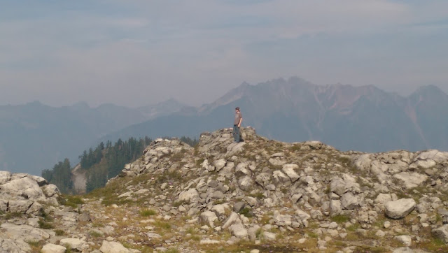
We drove on up to Artist Point for more scenery and pictures.
After Artist Point we drove on down the mountain and came to a little road that ran off into the trees. NF-3075.
It ran out to a cleared point where we could see the other side of Baker.
The road branched and dropped down the mountain to a dead end. We turned around and drove back out. The Tahoe was happy to exercise four wheel drive as in several places the road was steep and rutted.
We had dinner at Grahams in Deming. The food was good, the drinks cold and the place interesting. The bar reminded us of something we saw in the bars in Tombstone.
 |
| Pic from Tiger Tales |
 |
| pic from powderhounds.com |


No comments:
Post a Comment